Bermejo River. Argentina. First quarter of the 20th century.
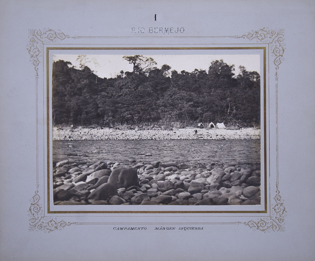
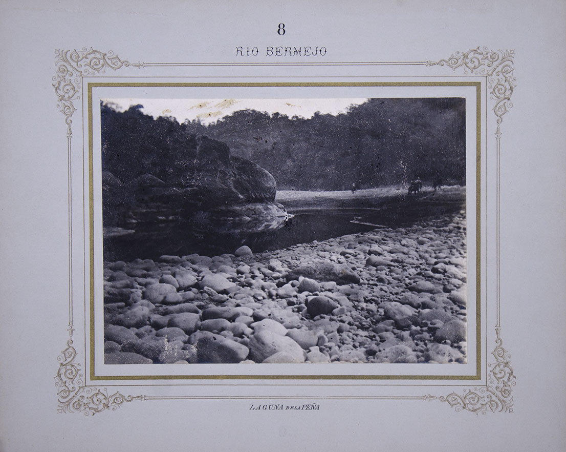
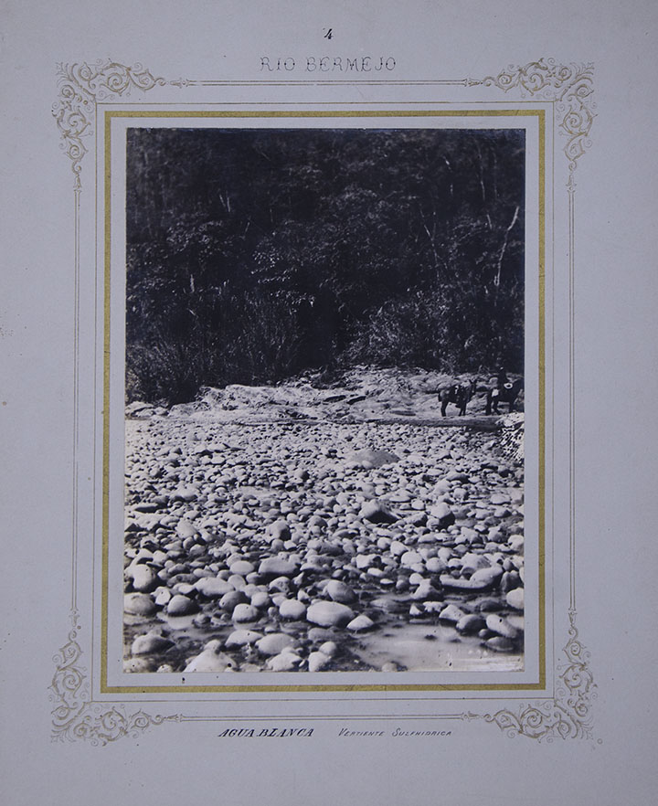
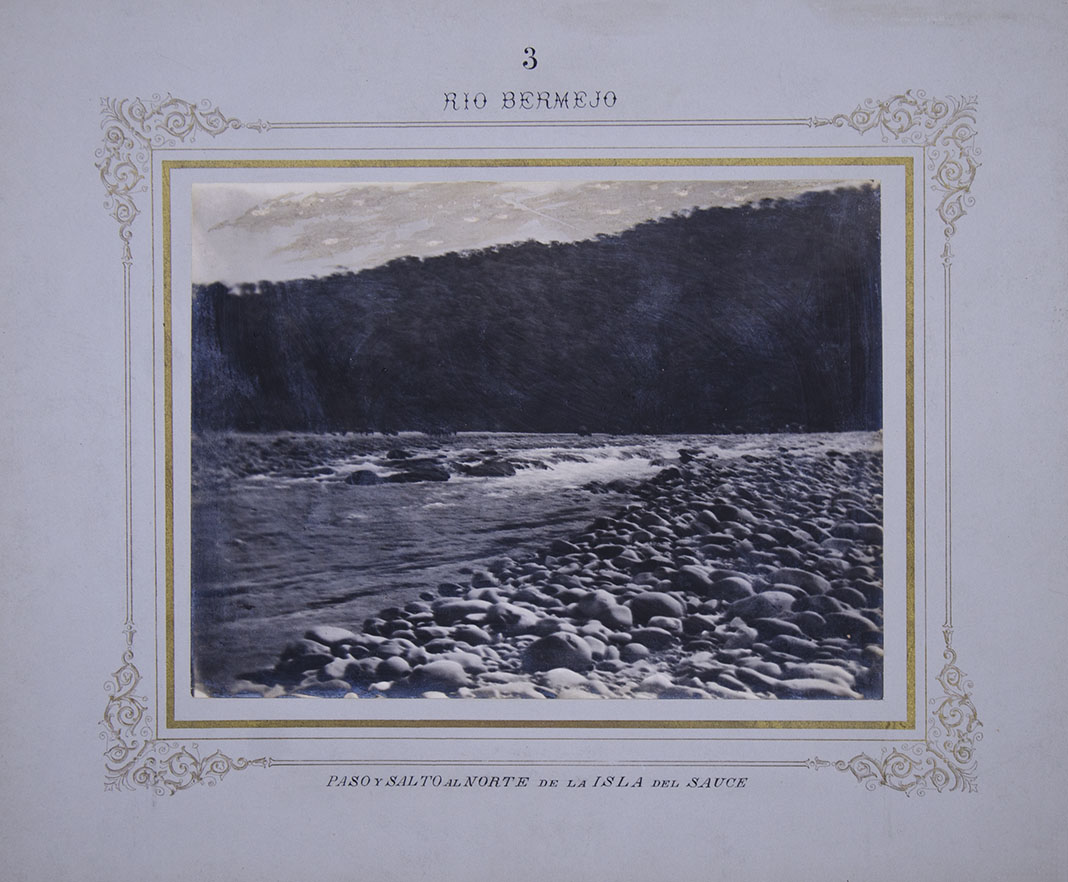
Album with 10 photographs, gelatin silver prints -measures: 16.8 x 23.2 cm / 6.61 x 9.13 in-, mounted on secondary cardboard -measures: 29.8 x 36 cm / 11.73 x 14.17 in- with the title of the album (Río Bermejo) and each one with the number of the image and at the bottom, its title. Each carton was decorated with an inner guard and printed gold edging.
Land expedition on the Bermejo riverbed carried out in the first decades of the twentieth century. The Bermejo River, one of the most important tributaries of the Cuenca del Plata, 1060 km long, is the natural boundary between Bolivia and Argentina, and runs through the Argentine provinces of Jujuy, Salta, Chaco and Formosa. In these photographs we observe him from his birth on the peaks of Jujuy and Salta. The deliberate absence of the expedition members is notorious in these records, because from the number of tents, horses and donkeys that are observed in several of them, it is clear to deduce that they were not few. And the absence of local residents is also striking, although by then the repression of the State and the different advanced companies in the region had dispersed them.
The excursions to study its navigability go back as early as the year 1780, with the first Spanish expedition of Colonel Fernández Cornejo, continuing that of the Franciscan Francisco Morillo, and many other subsequent ones that encountered the resistance of the lances and after this one, that of nature. Among others, José Arenales did it in the 1830s and the American Thomas Page, who led the first steamship in its lower and middle course in 1854. From 1884 a plan was implemented to occupy the Chaco militarily, led by Colonel Victorica, and gradually forts were erected on both sides of the river. Along with the military forces, other scientific explorations advanced through the region in the late 19th century and in the early 1920s. This is witnessed by this magnificent and rare collection of ten original photographic views, which were part of an album in its time.
Navigating the Bermejo was always a problem; due to the presence of a lot of sediment, it deposits large amounts of soil, which usually cause changes in its channel, so that in the old beds, flooded depressions called madrejones are formed.
The early records on remote geographies of our country are obviously very scarce. These ten unusual photographs of the Bermejo River were taken by a reliable professional photographer and, taken together, are part of what is now known as border photography.
| AUTHOR | FOTÓGRAFO NO IDENTIFICADO |
|---|---|
| ITEM | 5 |
Are you interested in selling some works?
Send us an email briefly indicating
which works you intend to put on sale, and we will respond. click here
Subscribe to our newsletter to be updated.
Check our Newsletters